Trip report: La Sarraz, VD, Switzerland
In the previous episode…
My previous adventure with Eric (an RA at EPFL who does design and robots and media, originally from Virginia) had been a bit beyond what we were prepared for. We’d planned to bike halfway around Lac Léman, starting from Lausanne, heading west and then south-west to Geneva, then rounding the tip of the lake (le petit lac) and going up to the border town of Hermance, and continuing into France to Évian-les-bains, and finally taking the ferry across the lake back to Lausanne. An ambitious goal of a bit over 110 km (68 mi)… if we’d finished. Instead, the fatigue hit us hard shortly after Hermance, and we struggled on to the nearest town to take a train to Évian and then catch the last ferry three hours later (and darker, and colder) than we’d thought we would. It didn’t help that I’d only reviewed the bike route up to Hermance, with very convenient and thorough maps and signage from SuisseMobile1, assuming that it would be similar once we crossed into France, for which I was (the biggest mistake) too lazy to try to find the maps and route info. (It wasn’t similar. Signs were sparser, bike lanes were less protected or non-existent, drivers were meaner. Google Maps wasn’t any better, because at one point it took us on to a freeway, and at another, a narrow lakeside walking trail with plenty of stairs.)
We were both severely sore for the next couple days and a tiny bit spooked about how it could have gone much worse. But it had been a fun bonding experience, and showed us that we had similar limits, ambitions, and levels of preparedness—good signs for doing more together!
So for our next trip, we made much less ambitious plans. Around 09:00, we’d head west from Lausanne for just a few kilometers until St. Sulpice, where the Venoge river meets the lake. There, we’d turn north, and roughly follow the river along SuisseMobile bike route 5 until La Sarraz. Our generous estimate for how long this 30 km (19 mi) part would take was 3 hours. Then, after a half-hour lunch break, we’d follow some local hiking trails (maps and signage again courtesy SuisseMobile) to the Tine de Conflens (a waterfall on the Venoge) and onward to the Bec à l’Aigle (“Eagle’s Beak”, a small peak) before walking back to La Sarraz. This would be around 9.7 km (6 mi), or 2.5 hours, again giving us a generous amount of time to finish before sunset at 16:45. The last leg would be a short ride back to Lausanne on a local train running 5 minutes past every half hour.2
(This would of course all happen on a Sunday, because there is really not much else you can do on Sundays in Switzerland. We decided on Dec 10.)
Leg 1: the bike
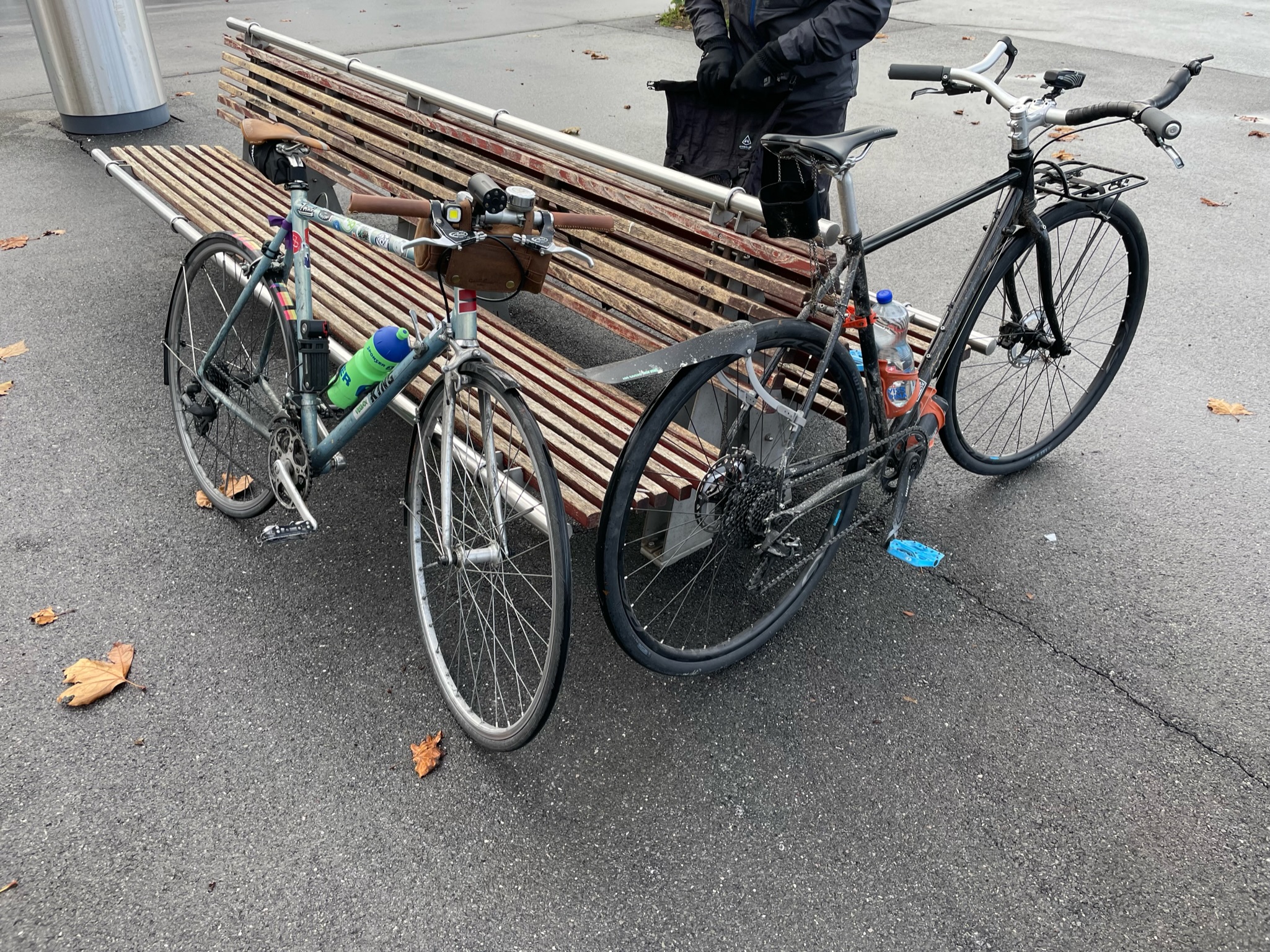
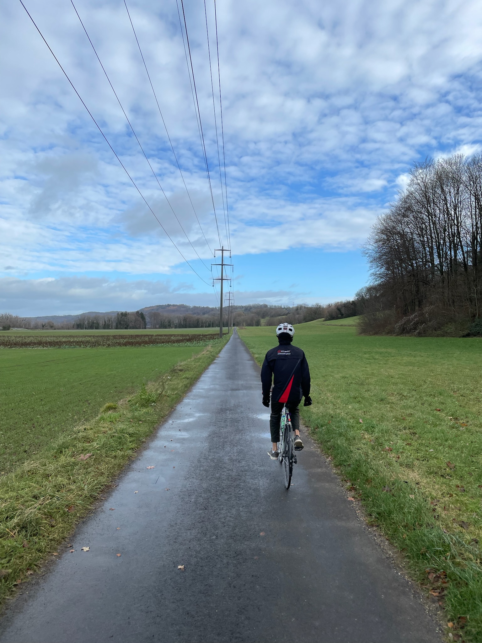
We’d planned to meet at the Ouchy waterfront at 09:00, but turned out that Eric hadn’t had time to fix a flat he’d got a couple days ago and decided to just change out his tires that morning, and I also took a few minutes to lube my drivetrain given how wet conditions had been the whole week, and missed a metro, so all told we started off at 09:30. But it was looking like a great day for a bike ride. The forecast was around 8 °C (46 °F) with light clouds and occasional sun—a great change from the gray, rainy, 3 °C (37 °F) weather we’d had the whole previous week and were to have the next week too.
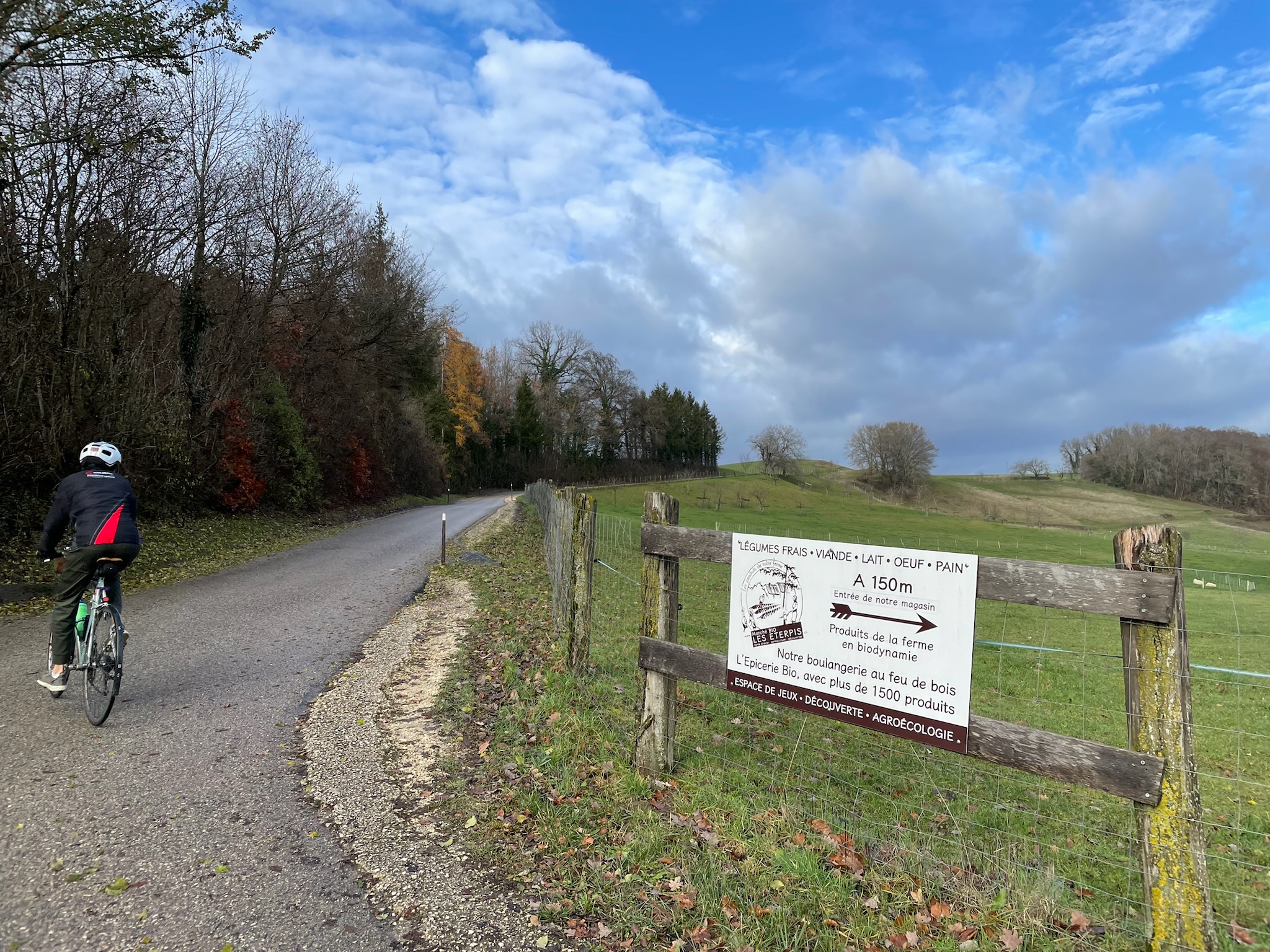
Lausanne to St. Sulpice was a flat urban segment, and one that Eric and I commute to campus by every day. The landscape started changing after we turned north at St. Sulpice close to the mouth of the river. It became greener and hillier, and houses became sparser as they gave way to vegetable farms.
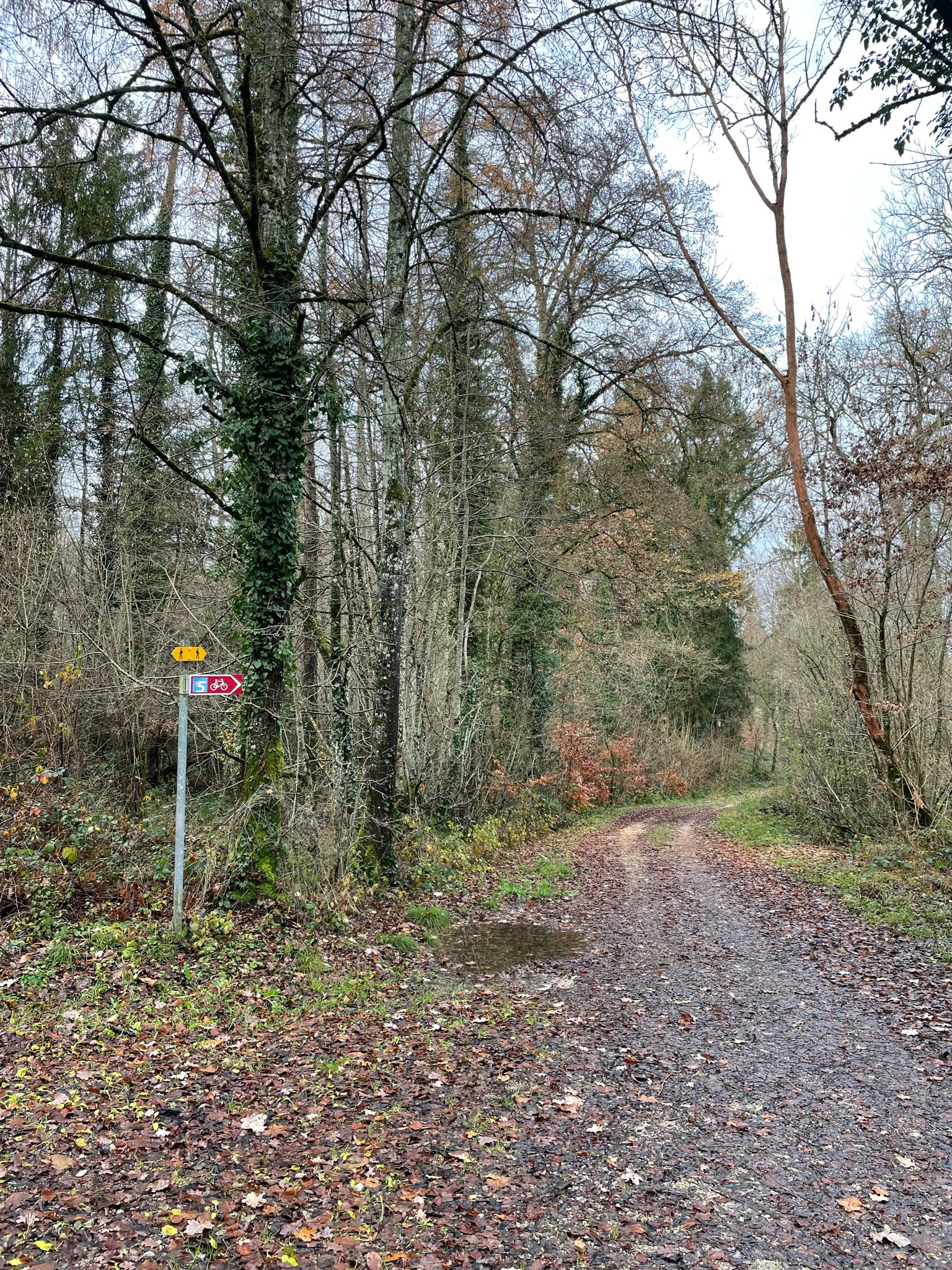
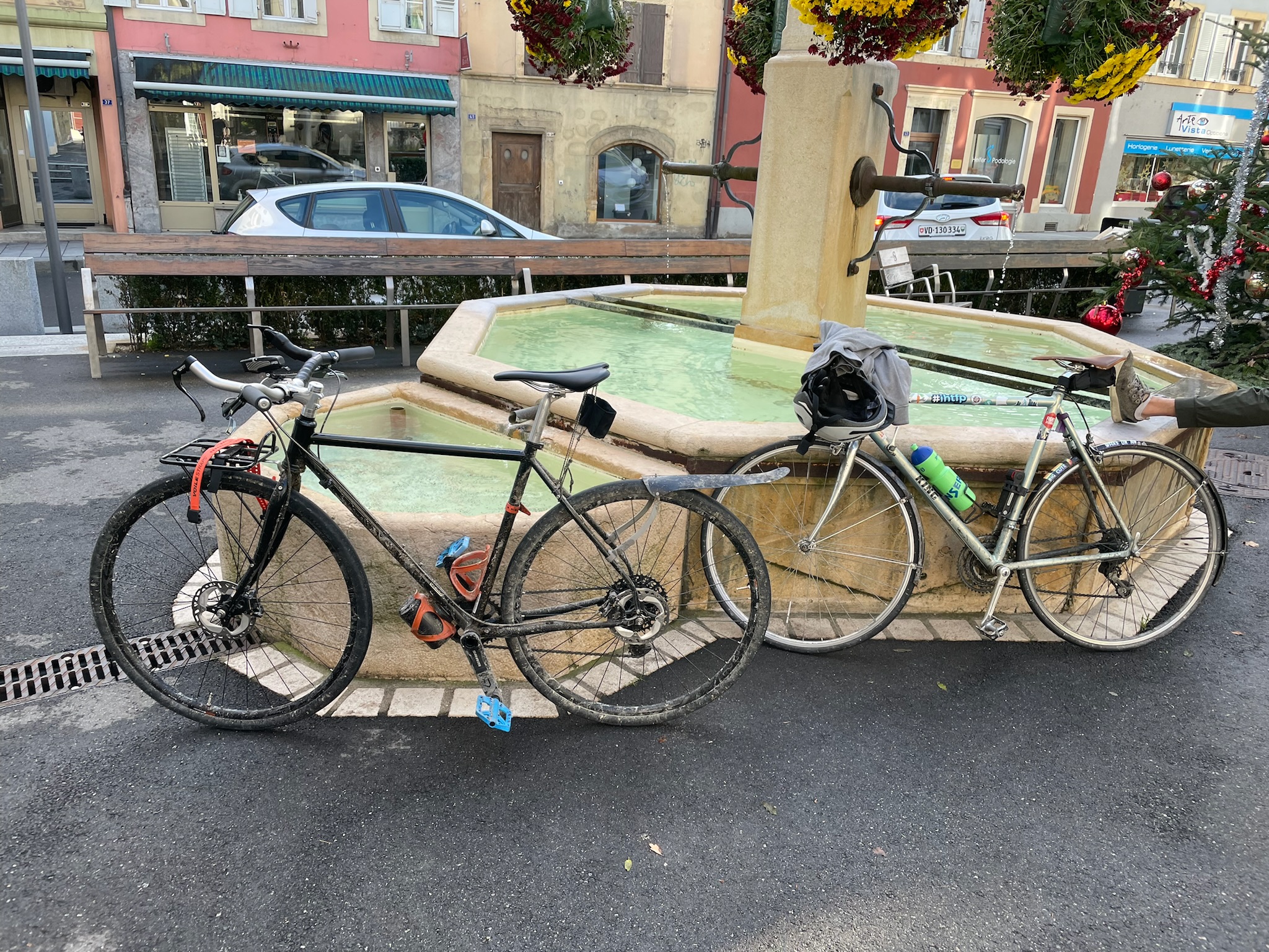
I’d always known Bussigny3 as an industrial suburb of Lausanne with bike-unfriendly roads and large commercial centers. But who knew that just beyond it to the west was a cute wooded area along the Venoge! This 6 km (3 mi) section was the only unpaved section on our route. Given the rain over the previous week and the season, the trail was muddy and littered with rotting leaves, which made it a bit of a challenge for our bikes. I could feel my wheels constantly slipping, so I was more wrangling my bike than riding it, but I couldn’t go too slow either, lest I get stuck in the mud. Eric’s bike somehow managed to accumulate a lot more mud than mine by the end of it.
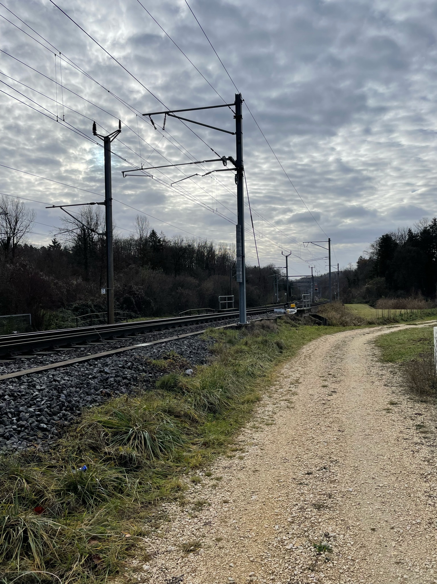
Without warning, the woods gave way to train tracks, and a beautiful CFF train zipped by right beside us. We went beside the tracks for a little bit, then crossed them, and cut through a small industrial shipping center for Coop (a major local supermarket chain) and other businesses. I remember a moment when it felt surreal: two massive silos, painted in what must once have been bright pink but was now cracked, chipped, gray lavender, next to an active railroad, with a train hurtling by every now and then, and us on our bikes, passing through quietly and tracelessly, as if maybe none of this ever existed.
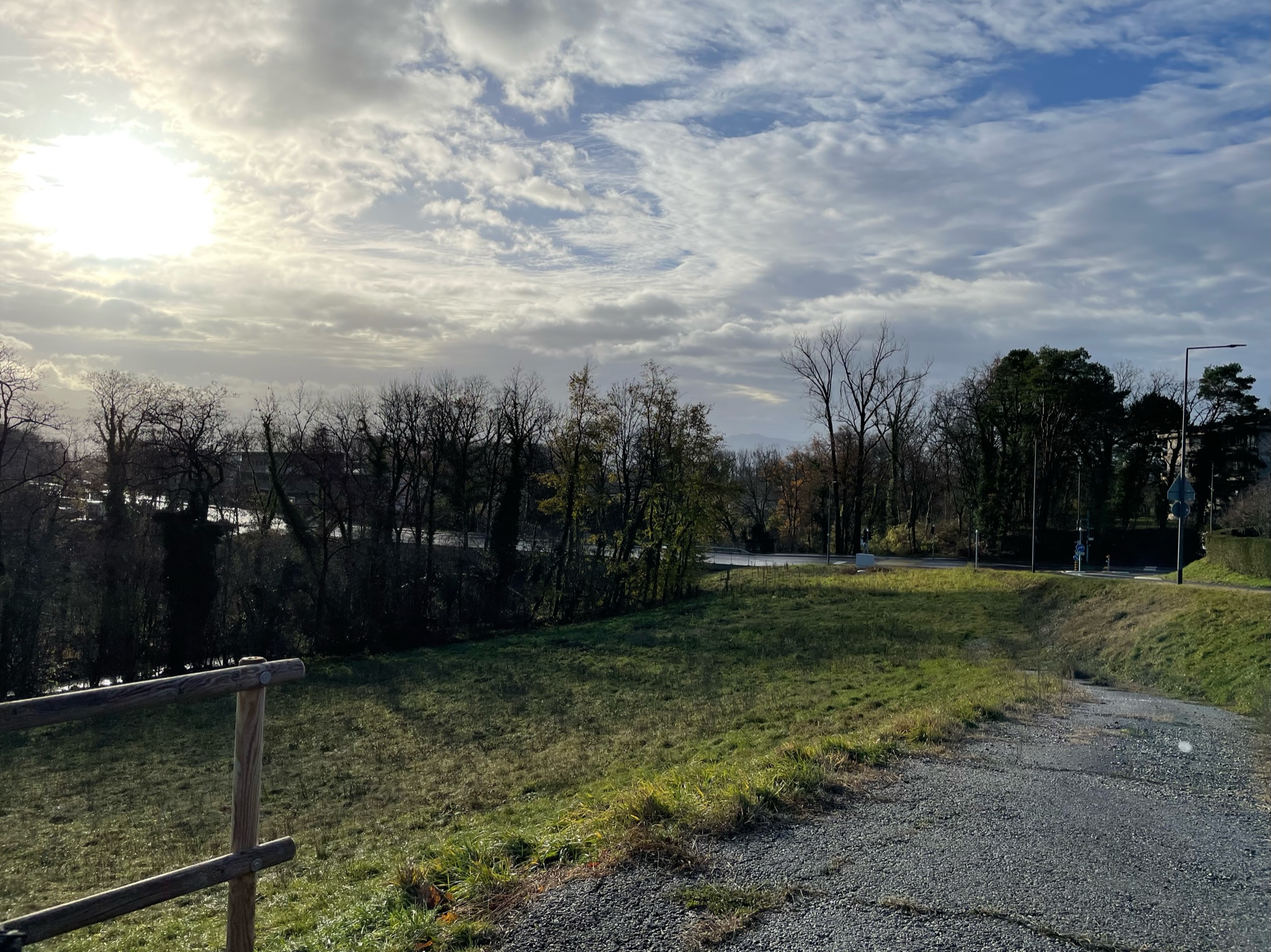
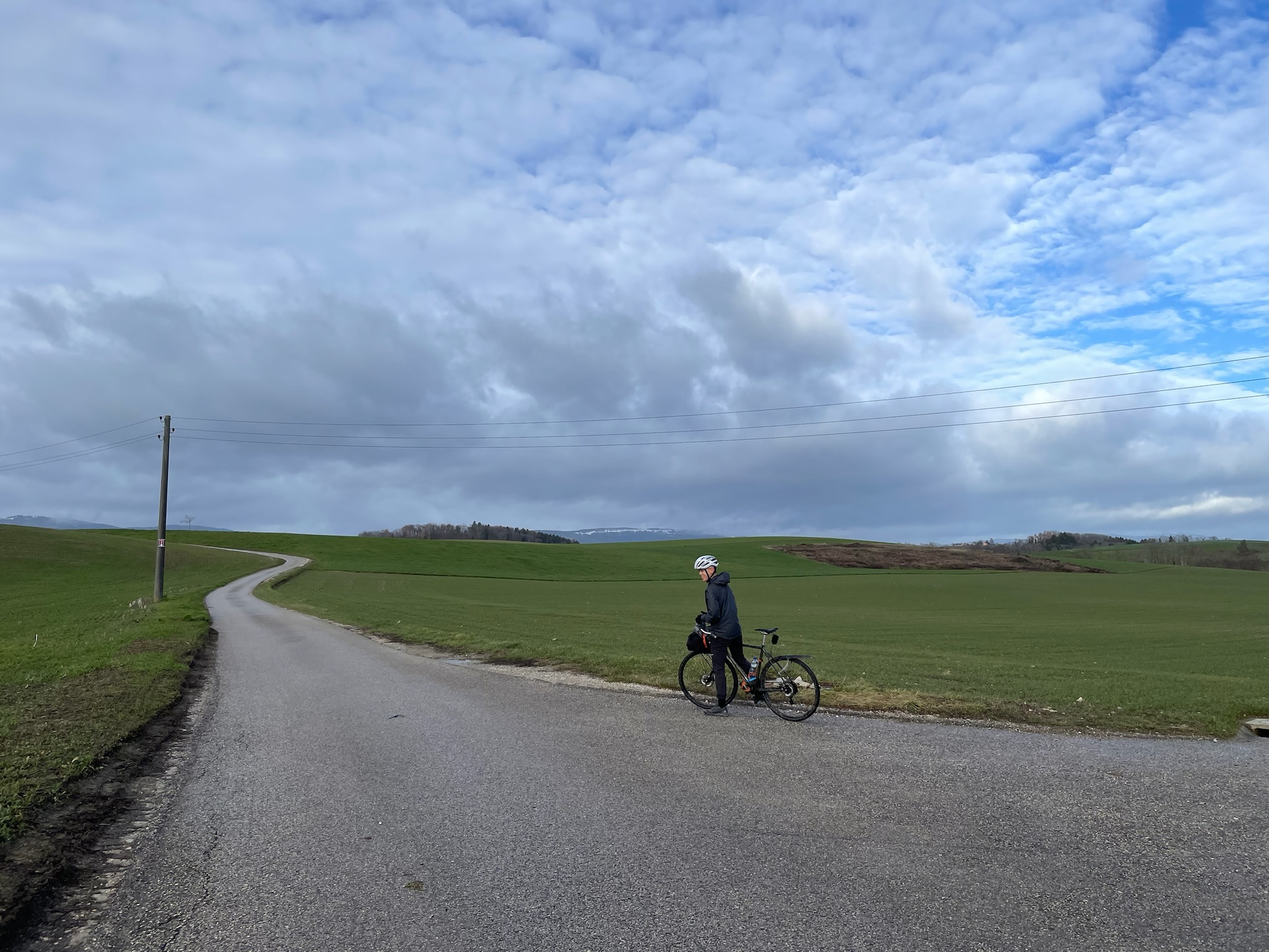
The next few kilometers were the best bike route you could ask for. Gentle slopes, gentle curves, smooth pavement, and just a touch of water on the road. Serene grass stretching in all directions. Not too much sun but not none, not too cold and not too hot, just the right amount of moisture in the air.
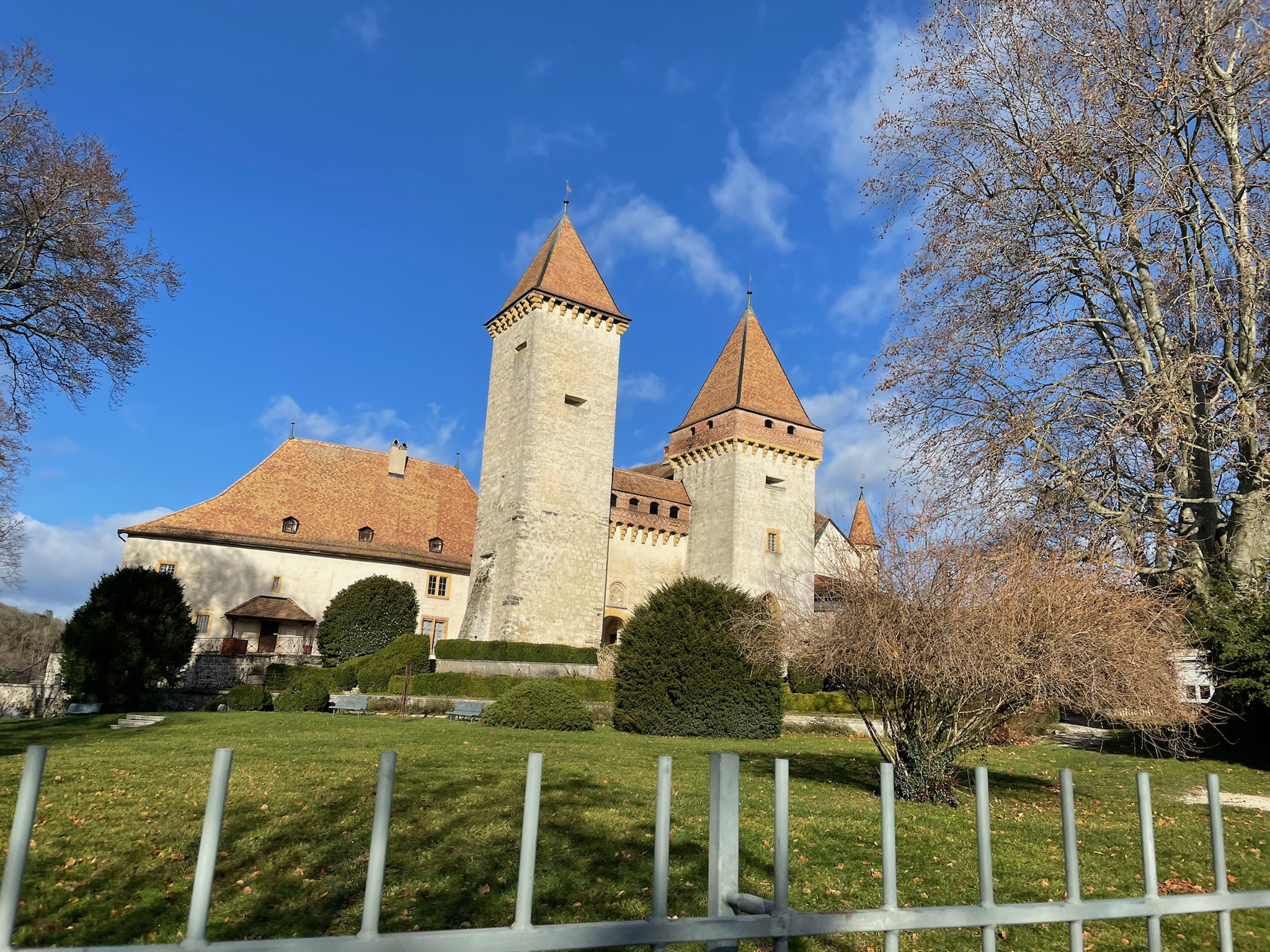
At 11:40, we pulled into La Sarraz! We’d started out half an hour late, but the bike ride had taken us almost an hour less than allotted, so we were doing great on time. We decided to eat our packed lunches on a sunny bench on the grounds of the 11th-century Château de La Sarraz. A little while later, two teenaged girls arrived, one carrying a camera and tripod and the other dressed up in a white frock. They tried a few different angles to get good lighting and the castle in the background, and once satisfied, the dressed-up girl materialized a flute and began to play test snippets while the other fiddled with the recording setup. We left at this point to let them record their music video in peace.
Aside: some history and geography
You might be wondering why a random tiny Swiss town was important enough to have a castle built there a thousand years ago. I can’t directly answer that question, but I can point in a direction that might be relevant. La Sarraz is roughly at the halfway point on the most geographically natural route between Yverdon-les-Bains at the southern tip of the Lac de Neuchâtel and Lausanne on the northern shore of Lac Léman—or as the Romans would have said it, between Eburodunum (“from Gaulish/Celtic *eburos (‘yew’) + *dūnom (‘fort’)”, according to Wiktionary) on the Lacus Everdunensis (interestingly, the lake was named after Yverdon, instead of after the city of Neuchâtel as it is today) and Lousonna (from Latin “*lausa (‘slab’), named after a cult stone [near Lausanne]”) on the Lacus Lemannus (I couldn’t find any further etymology for this one), because these were all places of import in the Roman Empire two thousand years ago. You can trace a route between Yverdon and Lausanne by following rivers in the relief map below, passing by the Mormont next to La Sarraz.
But there’s more that the map can tell us. La Sarraz and the Mormont lie on the boundary between two river basins, one that flows northeast into the Lac de Neuchâtel and the other south into Lac Léman. (Even without the colors in the map above, you can tell by looking at which way the rivers point in that area.) So the route passing through La Sarraz along major rivers enabled fluvial trade among all the cities and towns on those lakes. But wait, Lac Léman at its western end in Geneva drains into the Rhône river, which then flows south through France to meet the Mediterranean Sea; and the outflow from the Lac de Neuchâtel ultimately joins the Rhine river, winding through Austria, Germany, France, and the Netherlands into the North Sea. Then La Sarraz connects not just two Swiss lakes, but opposite sides of the entire continent of Europe, including the river that’s been arguably the most important for its economic and cultural development through history, the Rhine. I thought it was just cheeky small-town bravado when a sign in La Sarraz advertized it as Le Milieu du Monde—‘the center of the world’—but in a sense, it’s true.
Leg 2: the hike
After lunch, around 12:30, we headed down the town’s main street towards the trailhead for the Tine de Conflens. What we hadn’t expected to find leading up to the trailhead was a marché de Noël (‘Christmas market’) in an abandoned factory complex.
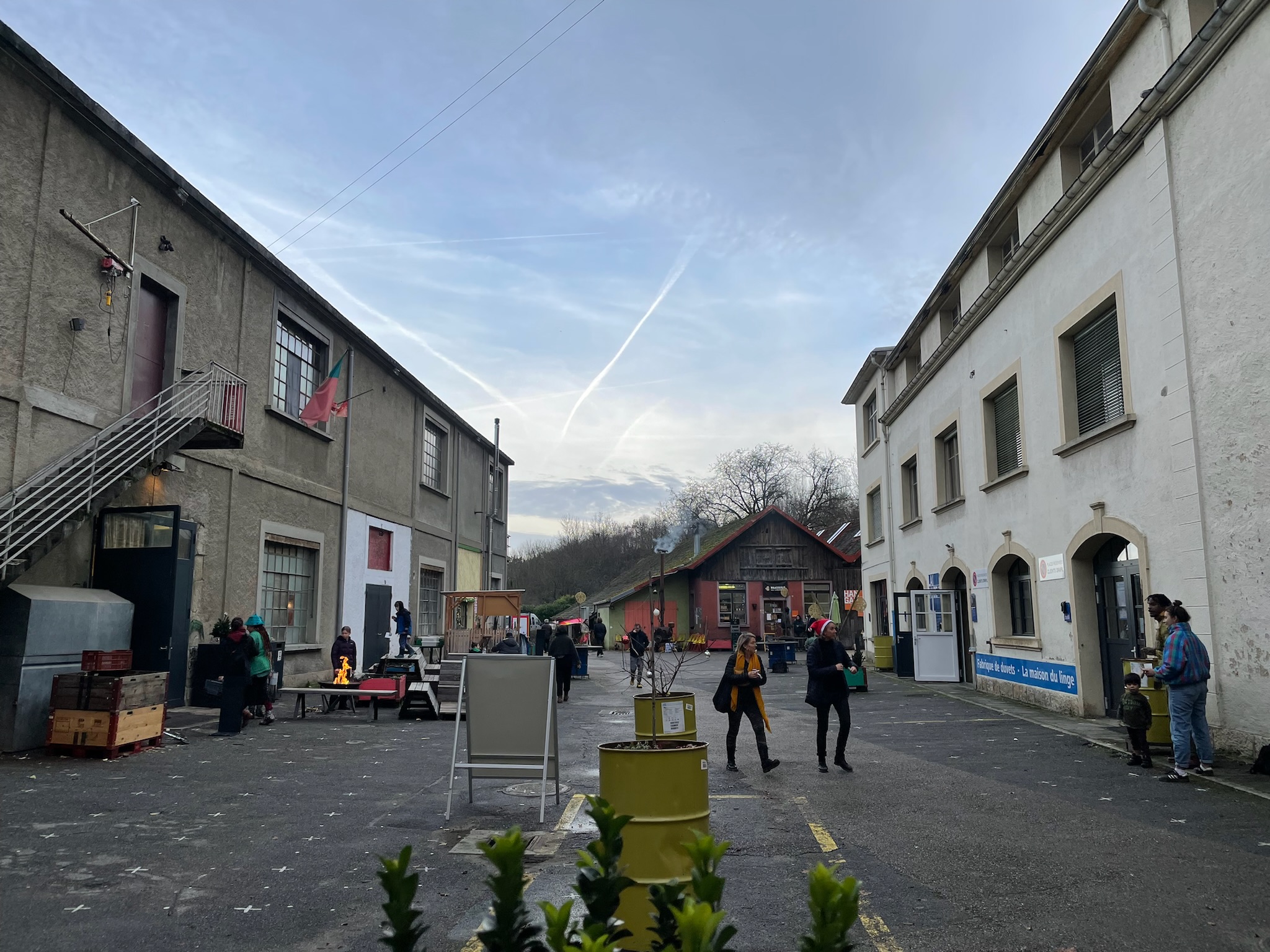
I’ve found typical Swiss Christmas markets (that run in the evenings from roughly the start of December until Christmas) to be a bit boring. There’ll be mulled wine, fondue bread rolls, waffles, and the like, and then scented candles, home decor, wooden kitchen equipment, jewelry, knitwear… you get the idea. It’s nice the first time but there’s not much reason to go again except for buying gifts with low mental effort.
But this market had a decidedly alternative streak. Someone was selling their own comic-style art that was actually quite good. Someone else was selling a mystery novel they’d written. One booth had dried mushrooms of all kinds, and kits to grow your own. Even the ‘classic’ offering of pain d’épice (‘spice bread’, a sort of traditional bread or cake with cinnamon, nutmeg, dry fruits, and other wintry spices and flavorings) was unconventional because of who was selling it (and had presumably made it): a few middle-schoolers from a homeschooling collective called Faire l’École En Liberté (FEEL) (with some translator’s license, I would render it as ‘Freeschooling’). Eric and I bought some of this last item for after the hike partly to make the kids’ day and support their hands-on schooling. I also had a quick coffee which was better than I’d expected.
After a last peek into a punk-looking brewery in the same complex, and a workshop labeled “bicycle surgery”, and a bar and game room that was way too hip for a small Swiss town, we finally began our hike around 13:15. Our first destination, the Tine de Conflens, wasn’t too far. But we could hear the Venoge raging long before we could see it.
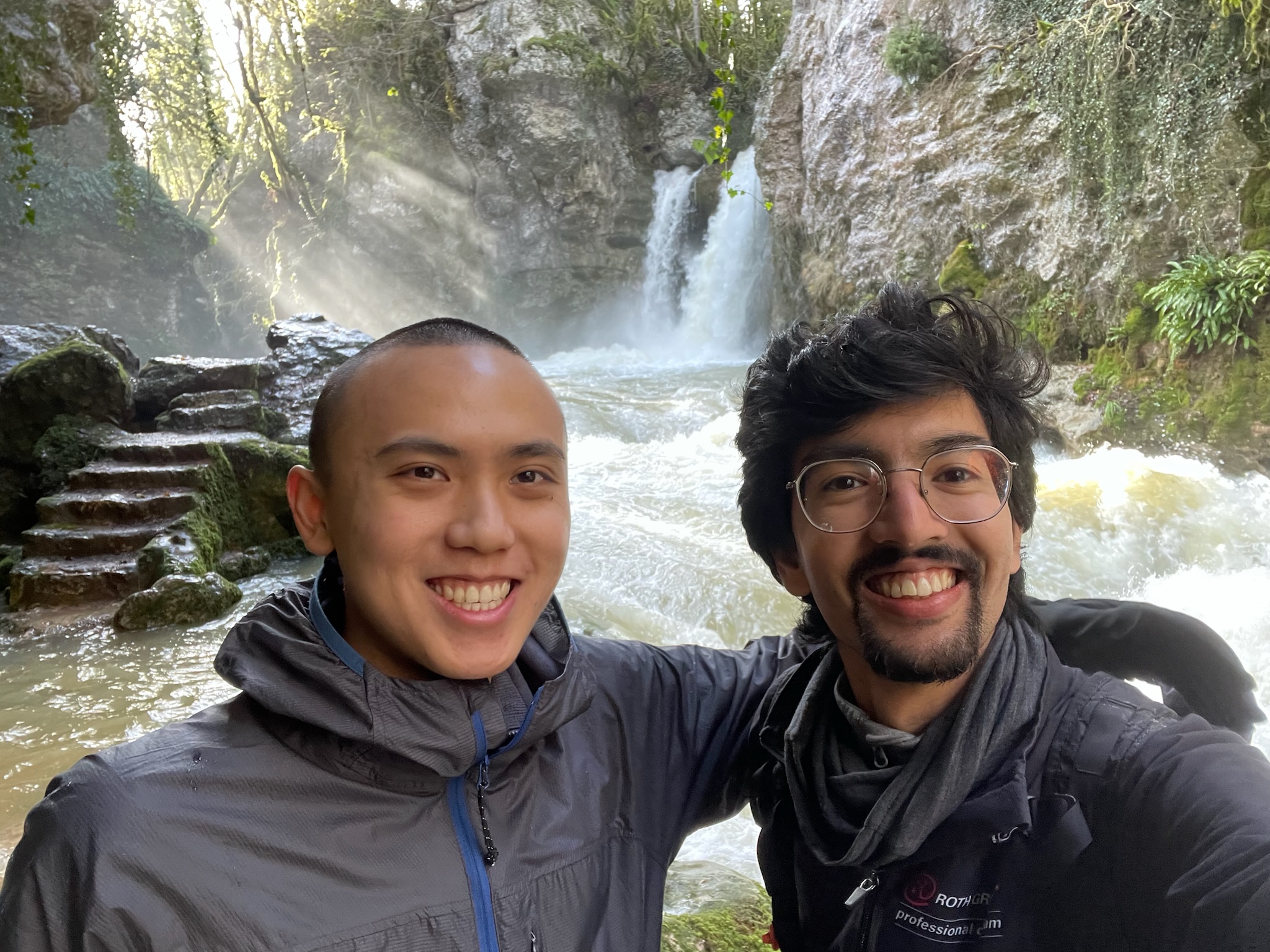
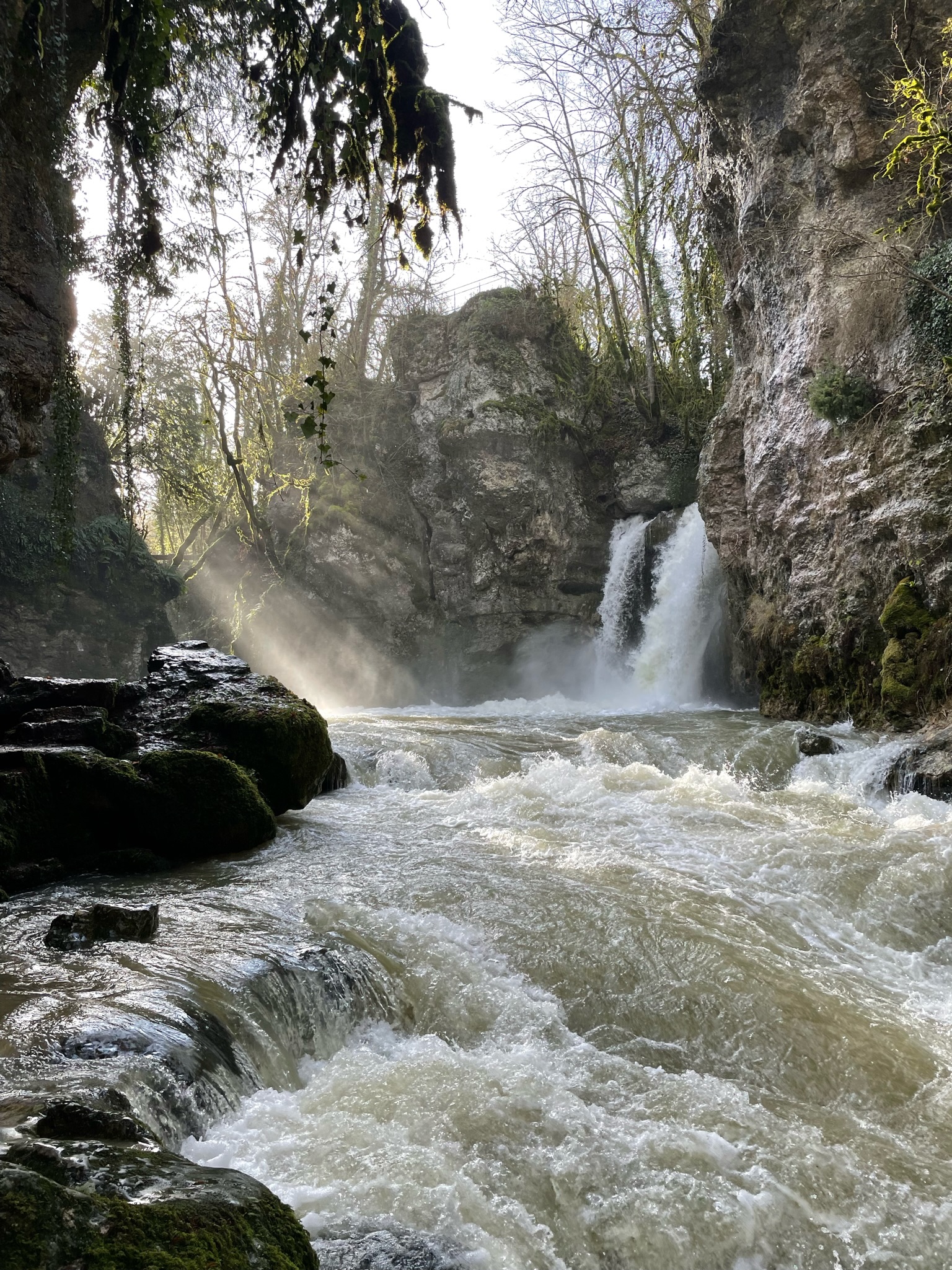
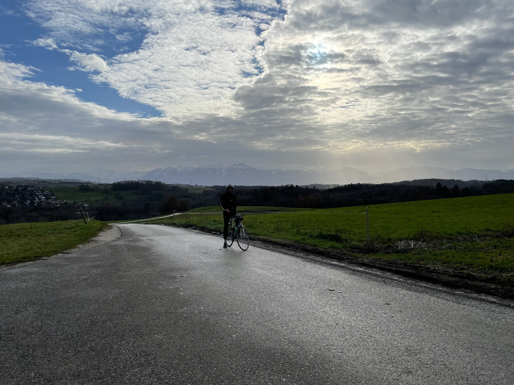
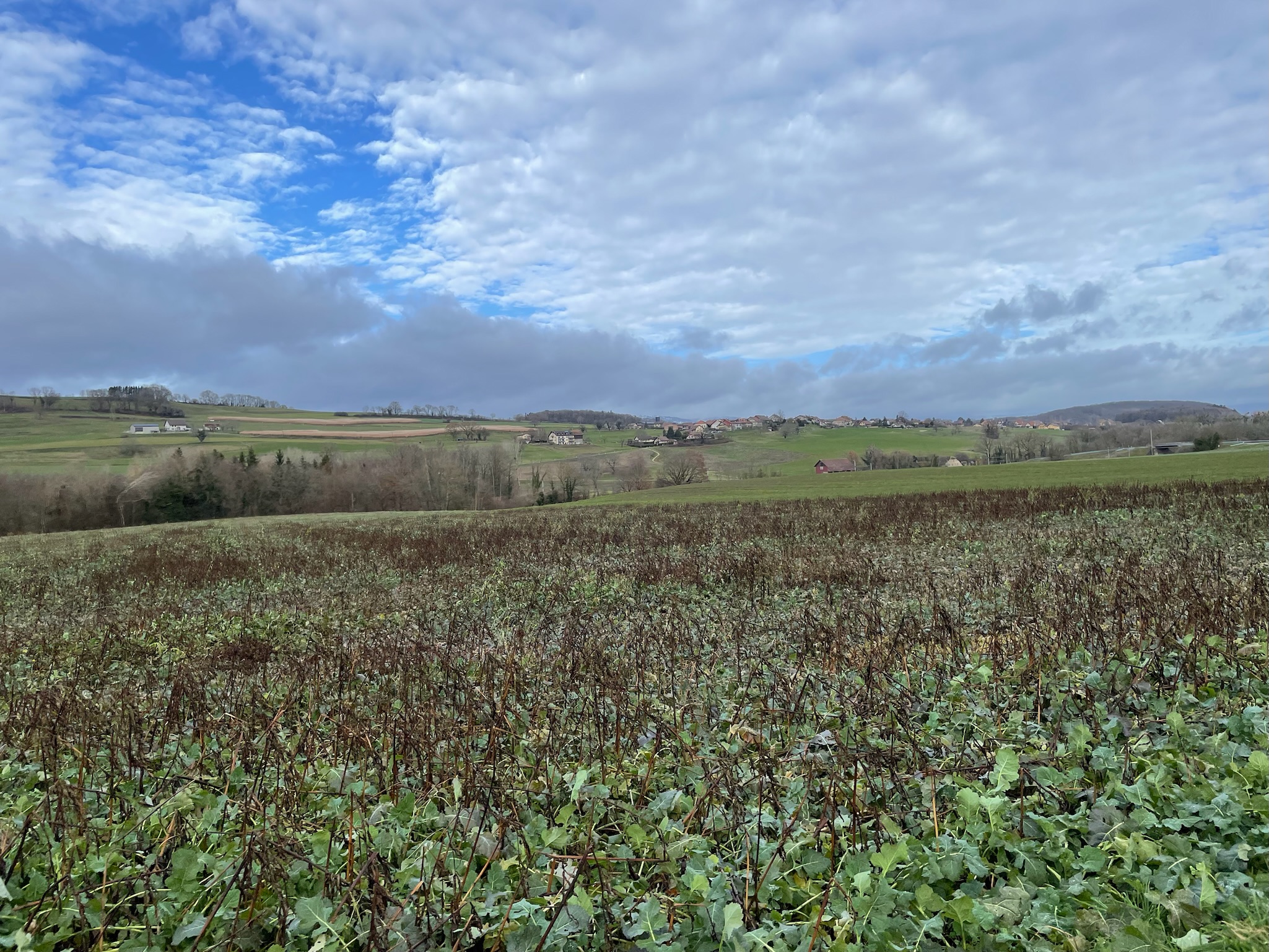
At 13:40, we continued around the waterfall and crossed the angry river, with a short off-trail scramble where the trail was underwater. The hike from this point on was in the vicinity of the Venoge and other nearby streams but never so close to any of them. Our surroundings were again, like during the bike ride, quite varied. We walked through settled areas and fields and forests, on sidewalks and on muddy trails. This went on for a little over an hour until we got to a short, steep climb up to the Bec à l’Aigle.

Or so we thought—because the exact location marked on the map for the “peak” was 100 m (328 ft) or so away from the trail, and there was no other trail going close, and it didn’t look like much of a peak anyway. Instead, 20 m (66 ft) in the opposite direction was a rocky outcrop with enough place for a few people to sit nervously overlooking the valley below. We mutually agreed that this was, in fact, the titular eagle’s beak, or maybe the eagle’s nest, or something, and this was what we had come for all along.
Around 15:00, we turned back, and walked for a solid hour and a half. We ambled into town and ate our pain d’épice at the train station waiting for the 17:05. La Sarraz and Lausanne, both being in the canton of Vaud, are in the canton’s Mobilis transit network, which means Mobilis’ pricing applies regardless of who operates the actual vehicles (e.g. the Swiss federal railways). I already had a nationwide half-fare pass as an EPFL employee and a general pass for the Lausanne area, so I only had to pay 3.90 CHF (roughly $4.30) for the 4 zones I was traveling beyond it. Accompanied bikes ride for half fare, as do children and dogs.
In conclusion
Eric and I were very satisfied with this trip! We felt it was well planned and well executed with plenty of leeway to explore, take wrong turns, and have fun. We’d packed enough food and water, and our gear posed no problems, and the weather had coöperated perfectly. The next day, we weren’t sore or even particularly tired.
Most of all, I felt like this trip captured a lot of what Switzerland is. It wasn’t a particularly special trip; we hadn’t picked it out of a guidebook or done extensive prior research. We just used public resources to map out a plan and go to an ordinary place. But those resources were exceptional (and we’d learned from our mistakes) and Switzerland really does feel like the sort of place where a random town turns out to be the center of the world with a castle and a story. If you’re willing to take your bike for a ride and your legs for a hike, you can see a lot of different things.
– Shardul Chiplunkar
Dec 2023
A national organization for the development of self-powered mobility: bicycling, hiking, skiing, etc. Works in partnership with Swiss federal and cantonal governments and Switzerland Tourism; has a sort of official status.↩︎
The miracle of clock-face scheduling in the Swiss rail network.↩︎
While casually searching for more information about Bussigny, I stumbled upon a delightful old-web site made by the textbook definition of a nerd: wimb.net.↩︎